Kahurangi National Park in the context of "Kahurangi Point"

Play Trivia Questions online!

or

Skip to study material about Kahurangi National Park in the context of "Kahurangi Point"


👉 Kahurangi National Park in the context of Kahurangi Point

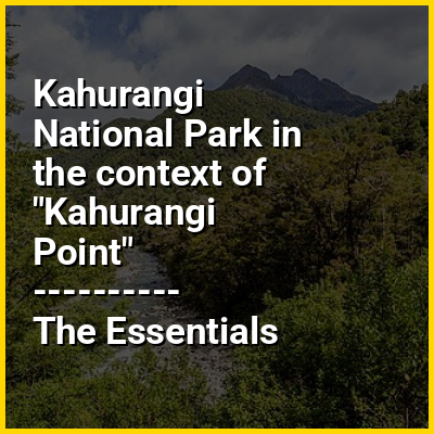
Kahurangi Point is a headland on the West Coast of New Zealand's South Island, overlooking the Tasman Sea. It is located in Kahurangi National Park between Karamea and Farewell Spit.

Kahurangi Point is traditionally regarded as the northernmost point of the West Coast region, although for most purposes it is considered part of the Tasman District region.

↓ Explore More Topics
In this Dossier

Kahurangi National Park in the context of Karamea

Karamea is a town on the West Coast of the South Island of New Zealand. It is the northernmost settlement of any real size on the West Coast, and is located 96 kilometres (60 mi) northeast by road from Westport. Apart from a narrow coastal strip, the town of Karamea and its local area are completely surrounded to the south, east and north by Kahurangi National Park.

The town is located on the coastal plain adjacent to the Karamea River and the Ōtūmahana Estuary. The town consists of two small settlements, Market Cross and Karamea proper, located about 1 kilometre (0.62 mi) apart. Up the Karamea River are the farming areas of Arapito (on the south bank) and Umere (on the north bank).

↑ Return to Menu