Districts of Cologne in the context of Innenstadt, Cologne


Districts of Cologne in the context of Innenstadt, Cologne
HINT:

👉 Districts of Cologne in the context of Innenstadt, Cologne

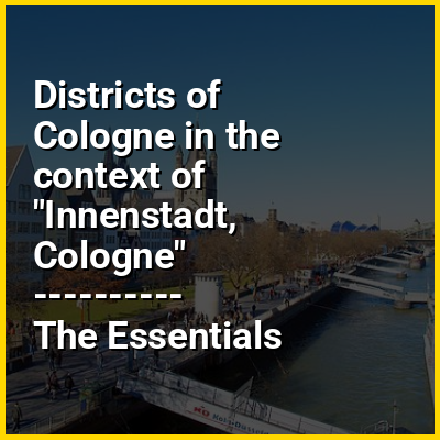
Innenstadt (German: Köln-Innenstadt German pronunciation: [ˈkœln ˈɪnənˌʃtat], lit.'Cologne-Inner City') is the central borough (Stadtbezirk) of the City of Cologne in Germany.

The borough was established with the last communal land reform in 1975, and comprises Cologne's historic old town (Altstadt), the Gründerzeit era new town (Neustadt) plus the right-Rhenish quarter of Deutz. The Innenstadt has about 127,000 inhabitants (as of December 2020) and covers an area of 16.37 square kilometres.

↓ Explore More Topics
In this Dossier

Districts of Cologne in the context of Chorweiler

Chorweiler (German: Köln-Chorweiler, German pronunciation: [kɔʁvaɪlɐ]) is the sixth borough (Stadtbezirk) of Cologne, Germany. Large portion of the borough of Chorweiler were incorporated into the city of Cologne in 1922, the borough of Chorweiler was created in the 1970s. The borough has the lowest population density in Cologne and many areas are very rural.

The borough of Chorweiler borders with the Cologne boroughs of Nippes and Ehrenfeld to the South, Rhein-Erft-Kreis to the West, Rhein-Kreis Neuss to the North, and the Rhine to the East. On the other riverbank lie the city of Leverkusen and Monheim am Rhein.

View the full Wikipedia page for Chorweiler
↑ Return to Menu