Çivril in the context of "Çal"

Play Trivia Questions online!

or

Skip to study material about Çivril in the context of "Çal"


⭐ Core Definition: Çivril

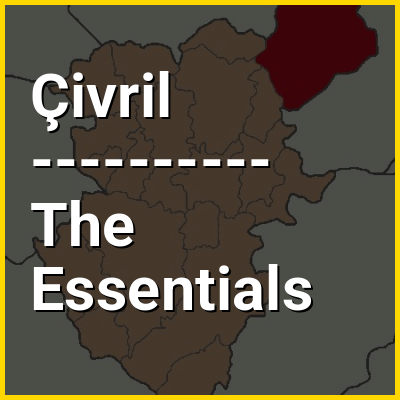
Çivril (Turkish: [ˈtʃivɾil]) is a municipality and district of Denizli Province, Turkey. Its area is 1,570 km, and its population is 59,967 (2022). Çivril district area neighbors those of two districts of Uşak Province to its north, namely Sivaslı and Karahallı, and four districts of Afyonkarahisar Province from the north-east to the south which are, clockwise, Sandıklı, Dinar, Dazkırı and Dazkırı, and to its south-west, three districts of the same province as itself depending Denizli. These last three are Bekilli, Çal and Baklan.

It is the third-most populated district of the province after Merkezefendi and Pamukkale and is situated on a plain to the northeast of the city of Denizli, being actually closer to the neighboring provincial seat of Uşak.

↓ Menu

👉 Çivril in the context of Çal

Çal (Turkish: [tʃaɫ]) is a municipality and district of Denizli Province, Turkey. Its area is 860 km, and its population is 17,889 (2022). Çal district area occupies a central position in the northern part of its province and neighbors the district of Pamukkale to the south-west and the district areas of Güney to the west and Honaz to the south. To the east of Çal district lies clockwise the districts of Bekilli, Çivril and Baklan.

The town of Çal is located 64 km (40 mi) north-east of the provincial seat of Denizli and is situated on a rocky hilltop overlooking a plain traced by Büyük Menderes River. The town lies at an altitude of 850 m (2,790 ft).

↓ Explore More Topics
In this Dossier

Çivril in the context of Akdağ

Akdağ (Turkish: Akdağ, "white mountain") is a mountain at the western end of the Taurus Mountains in the Aegean Region of Turkey. Its highest peak is 3,213 metres (10,541 ft). It lies in the Çameli district and the Çivril district of Denizli Province, The area was declared a national park in 2000.

↑ Return to Menu

Çivril in the context of Lake Işıklı

Lake Işıklı (Turkish: Işıklı Gölü) is a freshwater lake in Turkey's inner Aegean Region extending on Çivril Plain between the provinces of Denizli and Afyonkarahisar. The lake is bordered by the boundaries of several districts, namely, clockwise Çivril (Denizli Province), the principal urban center of the region, and Kızılören, Dinar and Evciler (Afyonkarahisar Province). A township on the lake shore and that is part of Çivril district carries the same name as the lake (Işıklı).

The lake lies at an altitude of 821 m and its area is 73 square kilometres. Its waters fed by streams are used for irrigation for the surrounding agricultural lands and the lake is also an important fishing and aquaculture center at regional scale.

↑ Return to Menu

Çivril in the context of Bekilli

Bekilli is a municipality and district of Denizli Province, Turkey. Its area is 304 km, and its population is 6,424 (2022). Bekilli district area neighbors the district areas of Çal and Çivril, both also depending Denizli to the west, south and east, and those of two districts of Uşak Province to the north, namely Ulubey and Karahallı.

The town of Bekilli is located in the inner Aegean region midway between the province seats of Denizli and Uşak, at a distance of 82 km (51 mi) from the first and 86 km (53 mi) from the second.

↑ Return to Menu

Çivril in the context of Baklan

Baklan is a municipality and district of Denizli Province, Turkey. Its area is 283 km, and its population is 5,296 (2022). The town is at a distance of about an hour from the city of Denizli, neighboring the town of Çivril, and it is situated on the road to Ankara.

↑ Return to Menu

Çivril in the context of Işıklı, Çivril

Işıklı is a neighbourhood of the municipality and district of Çivril, Denizli Province, Turkey. Its population is 1,563 (2022). Before the 2013 reorganisation, it was a town (belde).

↑ Return to Menu