Çekerek River in the context of "Maşat Höyük"

Play Trivia Questions online!

or

Skip to study material about Çekerek River in the context of "Maşat Höyük"

Ad spacer

>>>PUT SHARE BUTTONS HERE<<<

👉 Çekerek River in the context of Maşat Höyük

40°8′54″N 35°45′44″E / 40.14833°N 35.76222°E / 40.14833; 35.76222

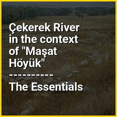
Maşat Höyük is a Bronze Age Hittite archaeological site 100 km nearly east of Boğazkale/Hattusa, about 20 km south of Zile, Tokat Province, north-central Turkey, not far from the Çekerek River. The site is under agricultural use and is plowed. It was first excavated in the 1970s.

↓ Explore More Topics
In this Dossier

Çekerek River in the context of Yeşilırmak (river)

The Yeşilırmak (Turkish: Yeşilırmak, lit.'green river'), known as the Iris in antiquity (Ancient Greek: Ἶρις), is a river in northern Turkey. From its source northeast of Sivas, it flows past Tokat and Amasya, crosses the Pontic Mountains and the Çarşamba Plain, reaching the Black Sea east of Samsun after 418 km (260 mi).

Its tributaries include the Çekerek (ancient Scylax) and the Kelkit (ancient Lycus).

↑ Return to Menu