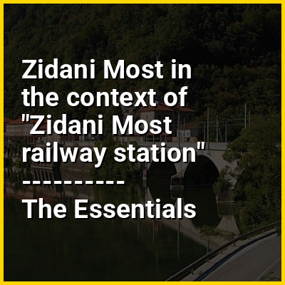
Zidani Most (pronounced [ˈziːdani ˈmoːst]; German: Steinbrück) is a settlement in the Municipality of Laško in eastern Slovenia. It lies at the confluence of the Sava and Savinja rivers. The area is part of the traditional region of Styria. It is now included with the rest of the municipality in the Savinja Statistical Region. It is an important railway station and junction.
HINT:
In this Dossier
- ⭐ Core Definition: Zidani Most
- Zidani Most in the context of Savinja
- Zidani Most in the context of Sava Hills
Zidani Most in the context of Savinja
The Savinja (pronounced [saˈʋìːnja]) is a river in northeast Slovenia which flows mostly in the Upper and Lower Savinja Valley (Slovene: Zgornja in Spodnja Savinjska dolina) and through the cities of Celje and Laško. The Savinja is the main river of the Savinja Alps (Sln. Savinjske Alpe). It flows into the Sava River at the town of Zidani Most. It has often flooded, such as in the 1960s, 1990, and 1995. The Savinja has a length of 101.75 kilometres (63.22 mi) and a catchment area of 1,847.7 km (713.4 sq mi).
View the full Wikipedia page for SavinjaZidani Most in the context of Sava Hills
The Sava Hills (Slovene: Posavsko hribovje) are the eastern part of the Slovene Prealps. They are oriented in the east-west direction and are located to the north and south of the Sava River in central and eastern Slovenia, among the Ljubljana Basin to the west, the Celje Basin to the north, the Lower Carniola valley system and the Krško Basin to the south, and the Sotla Hills to the east. They cover an area of 1,909 square kilometres (737 sq mi) and are the largest Slovenian mesoregion.
The region has an average elevation of only 484 metres (1,588 ft), and an average inclination of 16.6°. It is water-rich, because the ground contains copious impermeable rocks, particularly sandstone and conglomerate at lower elevations, whereas at higher elevations, it mainly consists of limestone and dolomite. Predominantly deciduous forest covers almost two thirds of the area. The Sava flows through its central part from the west to the east. Notable rises along it are Kum (1,220 m or 4,000 ft) to the south of the Sava, Mount Čemšenik (1,204 m or 3,950 ft), Javor (1,133 m or 3,717 ft), and Mrzlica (1,122 m or 3,681 ft) to the north of the Sava and to the west of the Savinja River, and Bohor (1,023 m or 3,356 ft) and Lisca (948 m or 3,110 ft) to the north of the Sava and the east of the Savinja. The Savinja flows through the hills transversely from the Celje Basin and joins the Sava at Zidani Most.
View the full Wikipedia page for Sava Hills