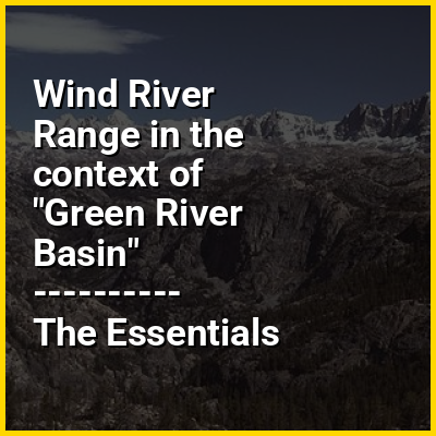
The Green River, located in the western United States, is the chief tributary of the Colorado River. The watershed of the river, known as the Green River Basin, covers parts of the U.S. states of Wyoming, Utah, and Colorado. The Green River is 730 miles (1,170 km) long, beginning in the Wind River Range of Wyoming and flowing through Wyoming and Utah for most of its course, except for a short segment of 40 miles (64 km) in western Colorado. Much of the route traverses the arid Colorado Plateau, where the river has carved some of the most spectacular canyons in the United States. The Green is slightly smaller than Colorado when the two rivers merge but typically carries a larger load of silt. The average yearly mean flow of the river at Green River, Utah is 6,121 cubic feet (173.3 m) per second.
The status of the Green River as a tributary of the Colorado River came about mainly for political reasons. In earlier nomenclature, the Colorado River began at its confluence with the Green River. Above the confluence, Colorado was called the Grand River. In 1921, U.S. Representative Edward T. Taylor of Colorado petitioned the Congressional Committee on Interstate and Foreign Commerce to rename the Grand River as the Colorado River. On July 25, 1921, President Warren G. Harding signed House Joint Resolution 32 - To change the name of the Grand River in Colorado and Utah to the Colorado River, over the objections of the congressional delegations of the states of Wyoming and Utah and the United States Geological Survey, which noted that the drainage basin of the Green River was more extensive than that of the Grand River, although the Grand commonly carried a higher volume of water at its confluence with the Green.