Tiantangzhai in the context of Jinzhai County


Tiantangzhai in the context of Jinzhai County

⭐ Core Definition: Tiantangzhai

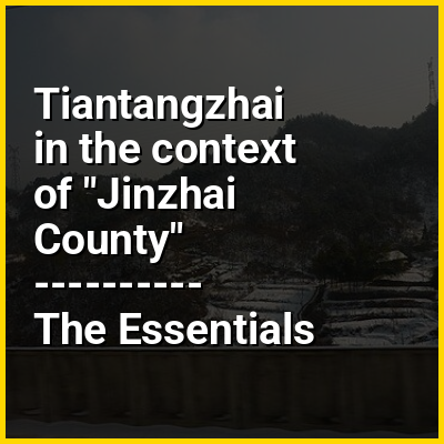
Tiāntángzhài (Chinese: 天堂寨) is the second highest peak of the Dabie Mountains located on the border between Hubei and Anhui provinces in the People's Republic of China. Straddling Hubei's Luotian County and Huanggang City along with Jinzhai County in Anhui, the mountain rises to a height of 1,729.13 metres (5,673.0 ft) above sea level. It forms the watershed between the Huai and Yangtze Rivers and is also known as the "Number one pass in the southeastern Yangtze River region" (吴楚东南第一关).

During the Tang and Song dynasties Tiantangzhai was known as "Yun Shan" (云山, Cloud Mountain). In the Yuan and Ming dynasties it became "Duoyun Shan" (多云山, Mountain of Many Clouds). The present name dates from the Qing dynasty.

↓ Menu
HINT:

In this Dossier

Tiantangzhai in the context of Dabie Mountains

The Dabie Mountains (traditional Chinese: 大別山; simplified Chinese: 大别山; pinyin: Dàbié Shān) are a major mountain range located in central China. Running northwest-to-southeast, they form the main watershed between the Huai and Yangtze rivers. The range also marks the boundary between Hubei Province (near Tingqian town) and its neighbors of Henan (to the north) and Anhui (to the east). During the late 1920s and early 1930s, the Dabie Mountains were a stronghold of the Chinese Communist Party and the location of the Eyuwan Soviet.

The western part of the Dabie Mountains has a low elevation of only 1,000–1,300 feet (300–400 meters), though there are a few peaks rising to 3,000 feet (910 meters). The eastern part is higher, averaging more than 3,300 feet (1,000 meters). The highest peak is Baimajian at 1,777 meters (5,830 feet), with several others topping 5,000 feet (1,500 meters) including the 1,729.13 meters (5,673.0 ft) high Tiantangzhai.

View the full Wikipedia page for Dabie Mountains
↑ Return to Menu