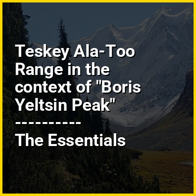
The Teskey Alatoo or Teskei Ala-Too (Kyrgyz: Тескей Ала-Тоо, IPA: [tʰeskʰéɪ ɑɫɑtʰóː]), often still known by its Russian name Terskey Alatau (Терскей-Алатау), is a mountain range in the Tian Shan mountains in Kyrgyzstan. It stretches south and southeast of Lake Issyk-Kul, from the river Joon-Aryk near Kochkor in the west to the far northeastern part of Kyrgyzstan. The length of the range is 354 km and its width is 40 km. Its highest peak is Karakol Peak (5,216 m). Another high peak is Boris Yeltsin Peak (5,168 m).
HINT:
In this Dossier
Teskey Ala-Too Range in the context of Jeti-Ögüz village
Jeti-Ögüz (Kyrgyz: Жети-Өгүз, romanized: Jeti-Ögüz, lit. 'seven bulls') is a village located at the north slope of Teskey Ala-Too mountain range near Issyk Kul in the Jeti-Ögüz District of Issyk-Kul Region of Kyrgyzstan. Its population was 4,143 in 2021.
View the full Wikipedia page for Jeti-Ögüz village