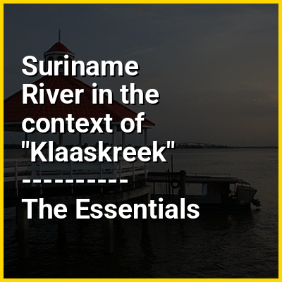
The Suriname River (Dutch: Surinamerivier) is 480 kilometres (300 mi) long and flows through the country of Suriname. Its sources are located in the Guiana Highlands on the border between the Wilhelmina Mountains and the Eilerts de Haan Mountains (where it is known as the Gran Rio). The source of the Upper Suriname River is at the confluence of the Gran Rio and Pikin Rio near the village of Goddo. The river continues shortly after the reservoir along Brokopondo as the Lower Suriname River. Than it flows Berg en Dal, the migrant communities Klaaskreek and Nieuw-Lombé, Jodensavanne, Carolina, Ornamibo and Domburg, before reaching the capital Paramaribo on the left bank and Meerzorg on the right bank. At Nieuw-Amsterdam it is joined by the Commewijne and immediately thereafter at the sandspit Braamspunt it flows into the Atlantic Ocean.
The river has several sets of rapids as well as a few dams, the largest of which is the Afobaka Dam. The river's flow is interrupted by the Brokopondo Reservoir, which therefore divides the river into two sections. The upstream section runs almost entirely through the Sipaliwini district, and the downstream section runs through the Brokopondo, Para, Commewijne, Wanica and Paramaribo districts.