Shumagin Islands in the context of Korovin Island


Shumagin Islands in the context of Korovin Island

⭐ Core Definition: Shumagin Islands

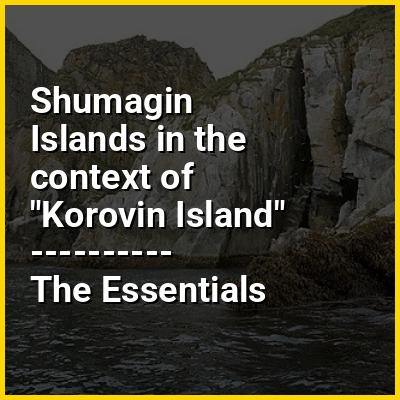
The Shumagin Islands (Unangan: Qagiiĝun; Russian: Острова Шумагина) are a group of 20 islands in the Aleutians East Borough south of the mainland of Alaska, United States, at 54°54'–55°20' North 159°15'–160°45' West. The largest islands are Unga Island, Popof Island, Korovin Island, and Nagai Island. Other islands include Andronica, Big Koniuji, Little Koniuji, Simeonof, Chernabura, and Bird. The total land area is 1,192.369 km (460.376 sq mi) and their total population as of the 2020 census was 578 persons, almost entirely in the city of Sand Point, on Popof Island.

The Shumagin Islands were named after Nikita Shumagin, one of the sailors on Vitus Bering's 1741 expedition to North America who died of scurvy and was buried on Nagai Island.

↓ Menu
HINT:

In this Dossier

Shumagin Islands in the context of Kittiwake

The kittiwakes (genus Rissa) are two closely related seabird species in the gull family Laridae, the black-legged kittiwake (Rissa tridactyla) and the red-legged kittiwake (Rissa brevirostris). The epithets "black-legged" and "red-legged" are used to distinguish the two species in North America, but in Europe, where Rissa brevirostris is not found, the black-legged kittiwake is often known simply as kittiwake. The name is derived from its call, a shrill 'kittee-wa-aaake, kitte-wa-aaake'. The genus name Rissa is from the Icelandic name Rita for the black-legged kittiwake.

View the full Wikipedia page for Kittiwake
↑ Return to Menu

Shumagin Islands in the context of Sand Point, Alaska

Sand Point, also known as Popof Island, is a city in Aleutians East Borough, Alaska, United States. At the 2010 census the population was 976, up from 952 in 2000, but by the 2020 Census this had reduced to 578. It is on northwestern Popof Island, one of the Shumagin Islands, off the Alaska Peninsula. It is the borough seat of Aleutians East Borough, and is near the entrance to the Bering Sea.

The Aleutians East Borough School District is in Southwestern Alaska along the Alaska Peninsula and Aleutian Chain The District was formed in 1988 from smaller districts that consolidated and formed a Borough with taxing authority. The Borough and District boundaries are the same, and stretch over approximately 15,000 square miles (39,000 km) of roadless, mostly treeless tundra, from the middle of the Alaska Peninsula to the north and east, going southwest out to Akutan just east of Dutch Harbor.

View the full Wikipedia page for Sand Point, Alaska
↑ Return to Menu