Royston/Roystonhill is a district in the city of Glasgow, Scotland. It was previously known as The Garngad and is still known as such by residents that have a familial link and is still displayed in local shops and bars. It is notable for its large population of immigrants, mostly of Irish Catholic and African descent.
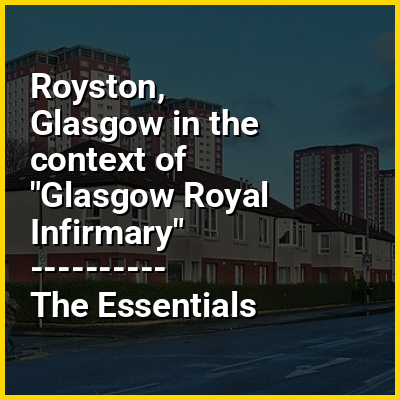
The district is situated north of the River Clyde and north-east of Glasgow city centre, with its boundaries defined by infrastructure: the neighbourhoods of Sighthill (once the site of the St Rollox Chemical Works) and Townhead are to the west on the opposite side of the A803 road, a dual carriageway urban bypass; Springburn is to the north beyond the sidings and buildings of the former St Rollox railway works and a supermarket built on part of its good depot; Germiston and the Blochairn industrial area are situated to the east on the other side of the North Clyde Line (Springburn branch) railway line; and Dennistoun is to the south on the opposite side of the M8 motorway. Pedestrian footpaths provide access over the roads to Dennistoun and Sighthill, and under their meeting point at the Townhead Interchange towards Glasgow Royal Infirmary. The railway lines once included stations named St Rollox to the north and Garngad to the east, but there are now none serving the area.