Red Hook, Brooklyn in the context of "ZIP Code"

Play Trivia Questions online!

or

Skip to study material about Red Hook, Brooklyn in the context of "ZIP Code"

Ad spacer

⭐ Core Definition: Red Hook, Brooklyn

Red Hook is a neighborhood in western Brooklyn, New York City, United States, within the area once known as South Brooklyn. It is located on a peninsula projecting into the Upper New York Bay and is bounded by the Gowanus Expressway and the Carroll Gardens neighborhood on the northeast, Gowanus Canal on the east, and the Upper New York Bay on the west and south. A prosperous shipping and port area in the early 20th century, the area declined in the latter part of the century. Today, it is home to the Red Hook Houses, the largest housing project in Brooklyn.

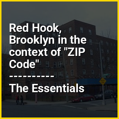
Red Hook is part of Brooklyn Community District 6, and its primary ZIP Code is 11231. It is patrolled by the 76th Precinct of the New York City Police Department. Politically, Red Hook is represented by the New York City Council's 38th District.

↓ Menu

>>>PUT SHARE BUTTONS HERE<<<
In this Dossier

Red Hook, Brooklyn in the context of Gowanus Canal

The Gowanus Canal (originally known as Gowanus Creek) is a 1.8-mile-long (2.9 km) canal in the New York City borough of Brooklyn, on the westernmost portion of Long Island. Once a vital cargo transportation hub, the canal has seen decreasing use since the mid-20th century as domestic shipping declined. It continues to be used for occasional movement of goods and daily navigation of small boats, tugs, and barges. It is among the most polluted bodies of water in the United States.

Connected to Gowanus Bay in Upper New York Bay, the Gowanus Canal borders the neighborhoods of Red Hook, Carroll Gardens, and Gowanus, all within South Brooklyn, to the west; Park Slope to the east; Boerum Hill and Cobble Hill to the north; and Sunset Park to the south. Seven bridges or viaducts cross the canal, carrying, from north to south, Union Street, Carroll Street, Third Street, the New York City Subway's Culver Viaduct, Ninth Street, Hamilton Avenue, and the Gowanus Expressway.

↑ Return to Menu

Red Hook, Brooklyn in the context of South Brooklyn

40°40′16″N 73°59′20″W / 40.671°N 73.989°W / 40.671; -73.989

South Brooklyn is a historic term for a section of the former City of Brooklyn – now the New York City borough of Brooklyn – encompassing what are now the Boerum Hill, Carroll Gardens, Cobble Hill, Gowanus, Park Slope, Windsor Terrace, Sunset Park and Red Hook neighborhoods. It was named for its location along the waterfront that was the southern border of the original Village of Brooklyn, and has remained widely used as a colloquialism despite it no longer being the southernmost point of the borough. It should not be confused with the geographic southern region of the modern borough of Brooklyn, which includes the neighborhoods of Gravesend, Seagate, Coney Island, Brighton Beach, Manhattan Beach, Sheepshead Bay, Gerritsen Beach, Marine Park, Mill Basin, and Bergen Beach.

↑ Return to Menu

Red Hook, Brooklyn in the context of Carroll Gardens, Brooklyn

Carroll Gardens is a neighborhood in the northwestern portion of the New York City borough of Brooklyn. Encompassing approximately 40 city blocks, it is bounded by Degraw and Warren Streets (north), Hoyt and Smith Streets (east), Ninth Street or the Gowanus Expressway (south), and Interstate 278, the Gowanus and Brooklyn–Queens Expressways (west). The neighborhoods that surround it are Cobble Hill to the northwest, Boerum Hill to the northeast, Gowanus to the east, Red Hook to the south and southwest, and the Columbia Street Waterfront District to the west.

Originally considered to be part of the area once known as South Brooklyn (or, more specifically, Red Hook), the area started to have its own identity in the 1960s. The neighborhood was named after Charles Carroll, the only Roman Catholic signer of the Declaration of Independence, and whose name was already attached to Carroll Street and Carroll Park. The name also reflects the large front gardens of brownstones in the Carroll Gardens Historic District and elsewhere in the neighborhood. Despite having an Irish surname, in recent times it has been known as an Italian American neighborhood.

↑ Return to Menu