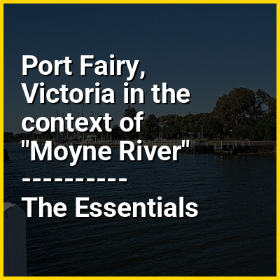
Port Fairy (historically known as Belfast) is a town in south-western Victoria, Australia. It lies on the Princes Highway in the Shire of Moyne, 28 kilometres (17 mi) west of Warrnambool and 290 kilometres (180 mi) west of Melbourne, at the point where the Moyne River enters the Southern Ocean.
HINT:
In this Dossier
- ⭐ Core Definition: Port Fairy, Victoria
- Port Fairy, Victoria in the context of Barwon South West
- Port Fairy, Victoria in the context of Shire of Moyne
Port Fairy, Victoria in the context of Barwon South West
The Barwon South West is an economic rural region located in the southwestern part of Victoria, Australia. The Barwon South West region stretches from the tip of the Queenscliff Heads to the border of South Australia. It is home to Victoria’s largest provincial centre, Geelong and the major centres ofAireys Inlet, Apollo Bay, Camperdown, Colac, Hamilton, Lorne, Port Campbell, Port Fairy, Portland, Torquay and Warrnambool. It draws its name from the Barwon River and the geographic location of the region in the state of Victoria.
Comprising an area in excess of 40,000 square kilometres (15,000 sq mi) with approximately 360,000 residents as at the 2011 census, the Barwon South West region includes the Colac Otway, Corangamite, Glenelg, Greater Geelong, Moyne, Queenscliffe, Southern Grampians, Surf Coast and Warrnambool City local government areas and the Unincorporated area of Lady Julia Percy Island.
View the full Wikipedia page for Barwon South WestPort Fairy, Victoria in the context of Shire of Moyne
The Shire of Moyne is a local government area in the Barwon South West region of Victoria, Australia, located in the south-western part of the state. It covers an area of 5,481 square kilometres (2,116 mi) and at the 2021 census had a population of 17,374. It includes the towns of Port Fairy, Koroit, Mortlake, Macarthur, Peterborough, Caramut, Ellerslie, Framlingham, Garvoc, Hawkesdale, Kirkstall, Panmure, Mailors Flat, Purnim, Wangoom and Woolsthorpe. It also entirely surrounds the City of Warrnambool, a separate local government area.
The Shire is governed and administered by the Moyne Shire Council; its seat of local government and administrative centre is located at the council headquarters in Port Fairy. It also has a customer service centre in Mortlake, and works depots in Koroit, Mortlake and Macarthur. The Shire is named after the Moyne River, a major geographical feature that meanders through the LGA.
View the full Wikipedia page for Shire of Moyne