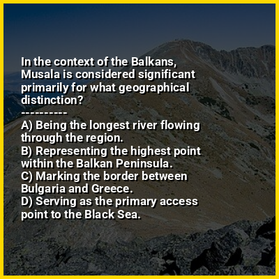
Musala in the context of "Balkans"

⭐ In the context of the Balkans, Musala is considered significant primarily for what geographical distinction?

Ad spacer

⭐ Core Definition: Musala

Musala (Bulgarian: Мусала [mosɐˈɫa]); from Arabic through Ottoman Turkish: from Musalla, "near God" or "place for prayer" is the highest peak in the Rila Mountains, as well as in Bulgaria and the entire Balkan Peninsula, standing at 2,925.42 metres (9,597.8 ft).

With a topographic prominence of 2,473 metres (8,114 ft), Musala is also the 6th highest peak by topographic prominence in mainland Europe. It is also the 3rd most topographically isolated major peak in Continental Europe.

↓ Menu

>>>PUT SHARE BUTTONS HERE<<<
In this Dossier

Musala in the context of Balkan peninsula

The Balkans (/ˈbɔːlkənz/ BAWL-kənz, /ˈbɒlkənz/ BOL-kənz), corresponding partially with the Balkan Peninsula, is a geographical area in southeastern Europe with various geographical and historical definitions. The region takes its name from the Balkan Mountains that stretch throughout the whole of Bulgaria. The Balkan Peninsula is bordered by the Adriatic Sea in the northwest, the Ionian Sea in the southwest, the Aegean Sea in the south, the Turkish straits in the east, and the Black Sea in the northeast. The northern border of the peninsula is variously defined. The highest point of the Balkans is Musala, 2,925 metres (9,596 ft), in the Rila mountain range, Bulgaria.

The concept of the Balkan Peninsula was created by the German geographer August Zeune in 1808, who mistakenly considered the Balkan Mountains the dominant mountain system of southeastern Europe spanning from the Adriatic Sea to the Black Sea. In the 19th century the term Balkan Peninsula was a synonym for Rumelia, the parts of Europe that were provinces of the Ottoman Empire at the time. It had a geopolitical rather than a geographical definition, which was further promoted during the creation of Yugoslavia in the early 20th century. The definition of the Balkan Peninsula's natural borders does not coincide with the technical definition of a peninsula; hence modern geographers reject the idea of a Balkan Peninsula, while historical scholars usually discuss the Balkans as a region. The term has acquired a stigmatized and pejorative meaning related to the process of Balkanization. The region may alternatively be referred to as Southeast Europe.

↑ Return to Menu

Musala in the context of Rila

Rila (Bulgarian: Рила, pronounced [ˈriɫɐ]) is the highest mountain range of Bulgaria, the Balkan Peninsula, and of Southeast Europe. It is situated in southwestern Bulgaria and forms part of the RilaRhodope Massif. The highest summit is Musala at an elevation of 2,925 m which makes Rila the sixth highest mountain range in Europe after the Caucasus, the Alps, Sierra Nevada, the Pyrenees and Mount Etna, and the highest one between the Alps and the Caucasus. It spans a territory of 2,629 km with an average elevation of 1487 m. The mountain is believed to have been named after the river of the same name, which comes from the Old Bulgarian verb "рыти" meaning "to grub".

Rila has abundant water resources. Some of the Balkans' longest and deepest rivers originate from Rila, including the Maritsa, Iskar and Mesta rivers. Bulgaria's main water divide separating the Black Sea and the Aegean Sea drainage systems follows the main ridge of Rila. The mountain range is dotted with almost 200 glacial lakes such as the renowned Seven Rila Lakes, and is rich in hot springs in the fault areas at the foothills, including the hottest spring in South-eastern Europe in Sapareva Banya.

↑ Return to Menu

Musala in the context of Vihren

Vihren (Bulgarian: Вихрен [ˈvixrɛn]) is the highest peak of Bulgaria's Pirin Mountains. Reaching 2,914 metres (9,560 ft), it is Bulgaria's second and the Balkans' third highest, after Musala and Mount Olympus. Although Vihren is deprived of lakes and streams due to the karst topography, a number of Pirin's lakes are located around the peak, as is Europe's southernmost glacial mass, the Snezhnika glacieret. Until 1942 Vihren was known as Eltepe (peak of storms); it was also called Buren (stormy) and Malnienosets (lightning-bringer). The UNESCO World Heritage Site Pirin National Park was originally known as the Vihren National Park. Vihren is included in the 100 Tourist Sites of Bulgaria under No. 2.

↑ Return to Menu