Megara Gulf in the context of Greek language


Megara Gulf in the context of Greek language

⭐ Core Definition: Megara Gulf

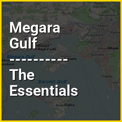
The Megara Gulf (Greek: Κόλπος Μέγαρων, romanizedKolpos Megaron) is a gulf in the Aegean Sea. It forms the northern section of the Saronic Gulf.

The total length of the gulf is approximately 20 km from north east to west, and it is about 6 to 10 km wide from north to south. It begins at Agioi Theodoroi and stretches eastward to the cape south of the village of Pachi in Megara and a small strait near Salamis Bay, and south to the area around Lamprino on the island of Salamis. Places on the shore include Agioi Theodoroi, Kineta, Pachi, and Kanakia on Salamis. Islets include Pachi and Pachaki (meaning Little Pachi) south of Pachi and Kanaki near Kanakia. Cape Petritis covers the southeast forming a bay boundary stretching to the northwestern part of the island near a small strait.

↓ Menu
HINT:

In this Dossier

Megara Gulf in the context of Saronic Gulf

The Saronic Gulf (Greek: Σαρωνικός κόλπος, Saronikós kólpos) or Gulf of Aegina in Greece is formed between the peninsulas of Attica and Argolis and forms part of the Aegean Sea. It defines the eastern side of the isthmus of Corinth, being the eastern terminus of the Corinth Canal, which cuts across the isthmus. The Saronic Islands in the gulf have played a pivotal role in the history of Greece, with the largest, Salamis being the location of a significant naval battle in the Greco-Persian wars. The Megara Gulf makes up the northern end of the Saronic Gulf.

The Athens urban area lies on the north coast of the Saronic Gulf.

View the full Wikipedia page for Saronic Gulf
↑ Return to Menu