A marine protected area (MPA) is a protected area of the world's seas, oceans, estuaries or in the US, the Great Lakes. These marine areas can come in many forms ranging from wildlife refuges to research facilities. MPAs restrict human activity for a conservation purpose, typically to protect natural or cultural resources. Such marine resources are protected by local, state, territorial, native, regional, national, or international authorities and differ substantially among and between nations. This variation includes different limitations on development, fishing practices, fishing seasons and catch limits, moorings and bans on removing or disrupting marine life. MPAs can provide economic benefits by supporting the fishing industry through the revival of fish stocks, as well as job creation and other market benefits via ecotourism. MPAs can provide value to mobile species.
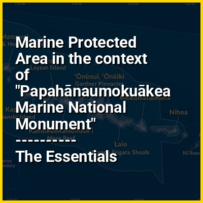
There are a number of global examples of large marine conservation areas. The Papahānaumokuākea Marine National Monument, is situated in the central Pacific Ocean, around Hawaii, occupying an area of 1.5 million square kilometers. The area is rich in wild life, including the green turtle and the Hawaiian monkfish, alongside 7,000 other species, and 14 million seabirds. In 2017 the Cook Islands passed the Marae Moana Act designating the whole of the country's marine exclusive economic zone, which has an area of 1.9 million square kilometers as a zone with the purpose of protecting and conserving the "ecological, biodiversity and heritage values of the Cook Islands marine environment". Other large marine conservation areas include those around Antarctica, New Caledonia, Greenland, Alaska, Ascension Island, and Brazil.