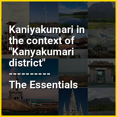
Kaniyakumari in the context of Kanyakumari district


Kaniyakumari in the context of Kanyakumari district

⭐ Core Definition: Kaniyakumari

Kanyakumari (lit.'The virgin Girl', referring to Devi Kanya Kumari, officially known as Kanniyakumari, formerly known as Cape Comorin) is a town and municipality in Kanyakumari district in the state of Tamil Nadu, India. It is the southernmost tip of the contiguous Indian subcontinent and the southernmost city in mainland India, and thus it is informally referred to as "The Land's End". Kanyakumari town is about 90 kilometres (56 mi) from Thiruvananthapuram and 20 kilometres (12 mi) south of Nagercoil, the headquarters of Kanyakumari district.

Kanyakumari is a popular tourist destination and pilgrimage centre in India. Notable tourist spots include its unique sunrise and sunset points, the 41-metre (133 ft) Thiruvalluvar Statue, and Vivekananda Rock Memorial off the coast. Lying at the tip of peninsular India, the town is bordered on the west, south, and east by the Laccadive Sea. It has a coastline of 71.5 kilometres (44.4 mi) stretched along these three sides.

↓ Menu
HINT:

In this Dossier

Kaniyakumari in the context of Eastern Coastal Plains

The Eastern Coastal Plains is a stretch of landmass lying between the eastern part of the Deccan Plateau and the Bay of Bengal in India. The plains stretch from the Mahanadi delta to Kaniyakumari at the southern tip of the Indian peninsula with the Eastern Ghats forming its rough western boundary. It is wider and leveled than the Western Coastal Plains and traverses the states of Odisha, Andhra Pradesh, and Tamil Nadu.

The plains are broadly divided into three subdivisions–Utkal Plains in the north, Andhra plains in the center, and Tamil Nadu plains in the south. The plains are fertile as it forms part of the deltas of major peninsular rivers such as Godavari, Krishna, Mahanadi, and Kaveri.

View the full Wikipedia page for Eastern Coastal Plains
↑ Return to Menu

Kaniyakumari in the context of Western Coastal Plains

The Western Coastal Plains is a narrow stretch of landmass lying between the western part of the Deccan Plateau and the Arabian Sea in India. The plains stretch from the Kutch region in the Western India to Kaniyakumari at the southern tip of the Indian peninsula, with the Western Ghats forming its eastern boundary. It traverses the states of Gujarat, Maharashtra, Goa, Karnataka, and Kerala.

The plains are broadly divided into six subdivisions–Kutch and Kathiawar along with the Gujarat Plains in the north, Konkan Coast and Canara in the center, and Malabar in the south. Due to the presence of Western Ghats, which blocks the rain-bearing winds, the region from the south of Gujarat experiences heavy rainfall during the monsoons. Unlike the Eastern Coastal Plains, very few rivers cut across the region due to the steeper gradient of the Indian peninsula moving from east to west and the major rivers include Narmada and Tapti.

View the full Wikipedia page for Western Coastal Plains
↑ Return to Menu