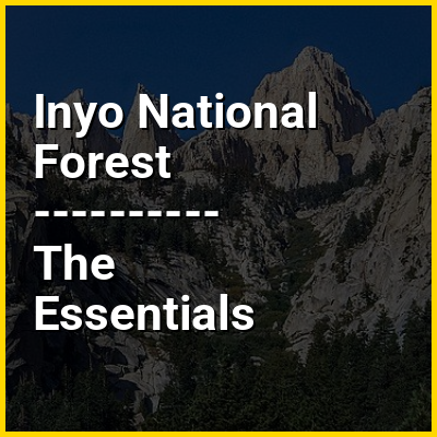
Inyo National Forest is a United States National Forest covering parts of the eastern Sierra Nevada of California and the White Mountains of California and Nevada. The forest hosts several superlatives, including Mount Whitney, the highest point in the contiguous United States; Boundary Peak, the highest point in Nevada; and the Ancient Bristlecone Pine Forest, which protects the oldest living trees in the world. The forest, encompassing much of the Owens Valley, was established by Theodore Roosevelt as a way of sectioning off land to accommodate the Los Angeles Aqueduct project in 1907, making the Inyo National Forest one of the least wooded forests in the U.S. National Forest system.
>>>PUT SHARE BUTTONS HERE<<<
In this Dossier
- ⭐ Core Definition: Inyo National Forest
- Inyo National Forest in the context of Mount Whitney
- Inyo National Forest in the context of Mammoth Mountain
- Inyo National Forest in the context of Ansel Adams Wilderness
- Inyo National Forest in the context of White Mountains (California)
- Inyo National Forest in the context of Red Cones
Inyo National Forest in the context of Mount Whitney
Mount Whitney (Paiute: Tumanguya) is a mountain in the Sierra Nevada mountain range of California, and the highest point in the contiguous United States, with an elevation of 14,505 feet (4,421 m). It lies in East–Central California on the boundary between Inyo and Tulare counties, and 84.6 miles (136.2 km) west-northwest of North America's lowest topographic point, Badwater Basin in Death Valley National Park, at 282 ft (86 m) below sea level. The mountain's west slope is in Sequoia National Park and the summit is the southern terminus of the John Muir Trail, which runs 211.9 mi (341.0 km) from Happy Isles in Yosemite Valley. The eastern slopes are in Inyo National Forest in Inyo County. Mount Whitney is ranked 18th by topographic isolation and 81st by prominence on Earth.
Inyo National Forest in the context of Mammoth Mountain
Mammoth Mountain is a lava dome complex partially located in the town of Mammoth Lakes, California, in the Inyo National Forest of Madera and Mono counties. It is home to a large ski area primarily on the Mono County side.
Mammoth Mountain was formed in a series of eruptions that ended 57,000 years ago. Mammoth Mountain still produces hazardous volcanic gases that kill trees.
Inyo National Forest in the context of Ansel Adams Wilderness
The Ansel Adams Wilderness is a wilderness area in the Sierra Nevada of California, United States. The wilderness spans 231,533 acres (93,698 ha); 33.9% of the territory lies in the Inyo National Forest, 65.8% is in the Sierra National Forest, and the remaining 0.3% covers nearly all of Devils Postpile National Monument. Yosemite National Park lies to the north and northwest, while the John Muir Wilderness lies to the south.
Inyo National Forest in the context of White Mountains (California)
The White Mountains of California and Nevada are a triangular fault-block mountain range facing the Sierra Nevada across the upper Owens Valley. They extend for approximately 60 mi (97 km) as a greatly elevated plateau about 20 mi (32 km) wide on the south, narrowing to a point at the north, with elevations generally increasing south to north. The range's broad southern end is near the community of Big Pine, where Westgard Pass and Deep Springs Valley separate it from the Inyo Mountains. The narrow northern end is at Montgomery Pass, where U.S. Route 6 crosses. The Fish Lake Valley lies east of the range; the southeast part of the mountains are separated from the Silver Peak Range by block faulting across the Furnace Creek Fault Zone, forming a feeder valley to Fish Lake Valley. The range lies within the eastern section of the Inyo National Forest.
Inyo National Forest in the context of Red Cones
The Red Cones are a pair of cinder cones near Devils Postpile National Monument, in eastern Madera County of central California. They are within the eastern Sierra Nevada and Inyo National Forest.