Inverness-shire (Scottish Gaelic: Siorrachd Inbhir Nis) or the County of Inverness, is a historic county in Scotland. It is named after Inverness, its largest settlement, which was also the county town. Covering much of the Highlands and some of the Hebrides, it is Scotland's largest county by land area. It is generally rural and sparsely populated, containing only three towns which held burgh status, being Inverness, Fort William and Kingussie. The county is crossed by the Great Glen, which contains Loch Ness and separates the Grampian Mountains to the south-east from the Northwest Highlands. The county also includes Ben Nevis, the highest mountain in both Scotland and the United Kingdom.
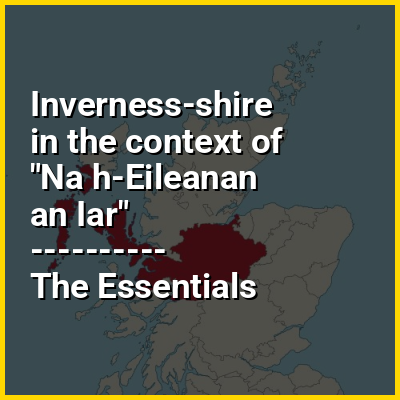
The county ceased to be used for local government purposes in 1975. Since then, the parts of the county on the mainland and in the Inner Hebrides have been part of the Highland region, which was redesignated a council area in 1996. The Outer Hebrides parts of the county became part of the Western Isles, which since 1998 has used only the Scots Gaelic version of its name, Na h-Eileanan an Iar. The neighbouring counties prior to the 1975 reforms were (clockwise from north) Ross and Cromarty, Nairnshire, Moray, Banffshire, Aberdeenshire, Perthshire and Argyll. The mainland part of the county had a coast to the east onto the Moray Firth, and a much longer coast to the west onto the Sea of the Hebrides.