Humber Bridge in the context of "Humber Estuary"

Play Trivia Questions online!

or

Skip to study material about Humber Bridge in the context of "Humber Estuary"


⭐ Core Definition: Humber Bridge

The Humber Bridge is a 2.22 km (2,430 yd; 7,300 ft; 1.38 mi) single-span road suspension bridge near Kingston upon Hull, East Riding of Yorkshire, England. When it opened to traffic on 24 June 1981, it was the longest of its type in the world; the Akashi Kaikyō Bridge surpassed it in 1998, and it became the fourteenth-longest by 2025.

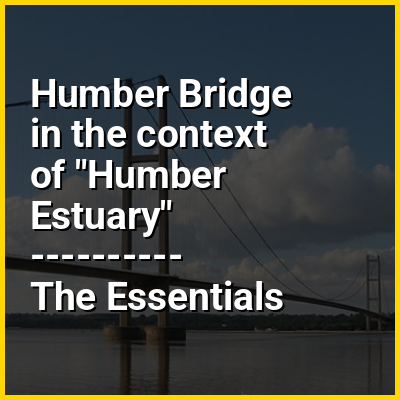
The bridge spans the Humber (an estuary formed by the rivers Trent and Ouse), between Barton-upon-Humber on the south bank and Hessle on the north bank, connecting the East Riding of Yorkshire with North Lincolnshire. Both sides of the bridge were in the non-metropolitan county of Humberside until its dissolution in 1996. The bridge can be seen for miles around, from as far as Patrington in the East Riding of Yorkshire, and from out to sea miles off the coast. It is a Grade I listed building.

↓ Menu

In this Dossier

Humber Bridge in the context of Humber

The Humber /ˈhʌmbər/ is a large tidal estuary on the east coast of Northern England. It is formed at Trent Falls, Faxfleet, by the confluence of the tidal rivers Ouse and Trent. From there to the North Sea, it forms part of the boundary between the East Riding of Yorkshire on the north bank and North Lincolnshire on the south bank. Also known as the River Humber, it is tidal its entire length.

Below Trent Falls, the Humber passes the junction with the Market Weighton Canal on the north shore, the confluence of the River Ancholme on the south shore; between North Ferriby and South Ferriby and under the Humber Bridge; between Barton-upon-Humber on the south bank and Kingston upon Hull on the north bank (where the River Hull joins), then meets the North Sea between Cleethorpes on the Lincolnshire side and the long and thin headland of Spurn Head to the north.

↑ Return to Menu

Humber Bridge in the context of Grimsby

Grimsby or Great Grimsby is a port town in Lincolnshire, England with a population of 86,138 (as of 2021). It is located near the mouth on the south bank of the Humber that flows to the North Sea. Grimsby adjoins the town of Cleethorpes directly to the south-east, forming a conurbation. It is the administrative centre of the borough of North East Lincolnshire, which alongside North Lincolnshire is officially part of the Yorkshire and the Humber region. Grimsby is 45 mi (72 km) north-east of Lincoln, 33 mi (53 km) (via the Humber Bridge) south-east of Hull, and 50 mi (80 km) east of Doncaster.

Landmarks include Grimsby Minster, Port of Grimsby and Grimsby Fishing Heritage Centre. Grimsby was once the home port for the world's largest fishing fleet around the mid-20th century, but fishing then fell sharply. The Cod Wars denied UK access to Icelandic fishing grounds and the European Union used its Common Fisheries Policy to parcel out fishing quotas to other European countries in waters within 200 nmi (370 km) of the UK coast. Grimsby suffered post-industrial decline like most other industrial towns and cities in the UK.

↑ Return to Menu

Humber Bridge in the context of Scunthorpe

Scunthorpe (/ˈskʌnθɔːrp/) is an industrial town in Lincolnshire, England, and the county's third most populous settlement after Lincoln and Grimsby, with a population of 81,286 in 2021. It is the administrative centre and largest settlement of the North Lincolnshire district. Scunthorpe lies north of Lincoln and is between Grimsby to the east and Doncaster to the west, while Hull is to the north-east via the Humber Bridge.

↑ Return to Menu

Humber Bridge in the context of South Ferriby

South Ferriby is a village in North Lincolnshire, England. It is situated on the south bank of the Humber Estuary and 3 miles (5 km) west from the Humber Bridge. North Ferriby is directly opposite on the Estuary's north bank. Village population was 651 in 2011.

↑ Return to Menu

Humber Bridge in the context of Barton-upon-Humber

Barton-upon-Humber (/ˈbɑːrtən əˈpɒn ˈhʌmbʌr/) or Barton is a town and civil parish in the North Lincolnshire district, in the ceremonial county of Lincolnshire, England. The population at the 2011 census was 11,066. It is situated on the south bank of the Humber Estuary at the southern end of the Humber Bridge. It is 6 miles (10 km) south-west of Kingston upon Hull and 31 miles (50 km) north north-east of the county town of Lincoln. Other nearby towns include Scunthorpe to the south-west and Grimsby to the south-east.

↑ Return to Menu