Geography of Albania in the context of "Central Mountain Range, Albania"

Play Trivia Questions online!

or

Skip to study material about Geography of Albania in the context of "Central Mountain Range, Albania"


⭐ Core Definition: Geography of Albania

Albania is a country in southeastern Europe that lies along the Adriatic and Ionian Seas, with a coastline spanning approximately 476 km (296 mi). Situated on the Balkan Peninsula, it is one of the most mountainous countries in Europe. It is bounded by Montenegro to the northwest, Kosovo to the northeast, North Macedonia to the east and Greece to the southeast and south.

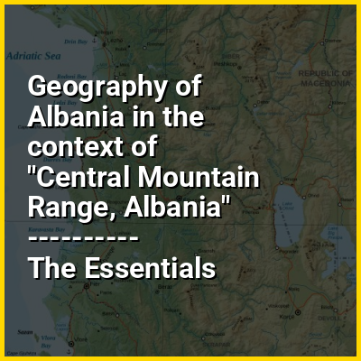
Most of Albania rises into mountains and hills, tending to run the length of the country from north to south, as for instance the Albanian Alps in the north, the Sharr Mountains in the northeast, the Skanderbeg Mountains in the center, the Korab Mountains in the east, the Pindus Mountains in the southeast, and the Ceraunian Mountains in the southwest. Plains and plateaus extend in the west along the Albanian Adriatic and Ionian Sea Coast.

↓ Menu

In this Dossier

Geography of Albania in the context of Albanian culture

Albanian culture or the culture of Albanians (Albanian: kultura shqiptare [kultuˈɾa ʃcipˈtaɾɛ]) is a term that embodies the artistic, culinary, literary, musical, political and social elements that are representative of ethnic Albanians, which implies not just Albanians of the country of Albania but also Albanians of Kosovo, North Macedonia and Montenegro, where ethnic Albanians are a native population. Albanian culture has been considerably shaped by the geography and history of Albania, Kosovo, parts of Montenegro, parts of North Macedonia, and parts of Northern Greece, traditional homeland of Albanians. It evolved since ancient times in the western Balkans, with its peculiar language, pagan beliefs and practices, way of life and traditions. Albanian culture has also been influenced by the Ancient Greeks, Romans, Byzantines and Ottomans.

The name 'Albanian' derived from the Illyrian tribe of the Albanoi and their capital in Albanopolis that was noted by Ptolemy in ancient times. Previously, Albanians called their country Arbëri or Arbëni and referred to themselves as Arbëreshë or Arbëneshë until the sixteenth century as the toponym Shqipëria or Shqypnia and the endonym Shqiptarë or Shqyptarë gradually replaced Arbëria and Arbëresh. The terms Shqipëria and Shqiptarë are popularly interpreted respectively as the "Land of Eagles" and "Children of Eagles" / "Eagle-Men".

↑ Return to Menu

Geography of Albania in the context of Tirana County

Tirana County (Albanian: Qarku Tiranë), officially the County of Tirana (Albanian: Qarku i Tiranës), is a county in the Central Region of Albania. It is the tenth largest by area and the most populous of the twelve counties according to the 2023 Census, with about 760,000 inhabitants within an area of 1,652 km (638 sq mi). The county borders on the Adriatic Sea to the west, the counties of Durrës to the northwest, Dibër to the northeast, Elbasan to the east and Fier to the southwest. It is divided into five municipalities, Tirana, Kamëz, Kavajë, Rrogozhinë and Vorë, with all of whom incorporate twenty-nine administrative units.

Geographically, Tirana extends from the high and rugged Skanderbeg Mountains in the east to the flat shores of the Albanian Adriatic Sea Coast along the Mediterranean Sea. Due to its location and the close proximity to the Adriatic Sea, its climate is particularly influenced by a Mediterranean climate with four distinct seasons. Two of the country's fourteen National Parks are located in the county, with Dajti in the center and Divjakë-Karavasta in the southwest.

↑ Return to Menu