Fordham Road in the context of Belmont, Bronx


Fordham Road in the context of Belmont, Bronx

⭐ Core Definition: Fordham Road

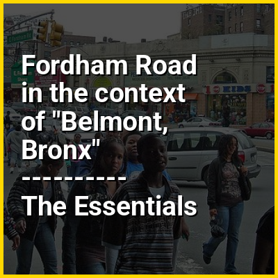
Fordham Road is a major thoroughfare in the Bronx, New York City, that runs west-east from the Harlem River to Bronx Park. Fordham Road houses the borough's largest and most diverse shopping district. It geographically separates the geopolitical North Bronx from the South Bronx.

This street runs through the neighborhood of University Heights, divides Fordham from Fordham-Bedford and finally runs along the northern border of Belmont. It begins to the east as a continuation of Pelham Parkway and continues to the west as the University Heights Bridge into Manhattan. It is a two-way, four-lane road. Fordham Road runs concurrent with U.S. Route 1 from Webster Avenue to the Bronx River Parkway. Fordham Road is divided into East Fordham Road and West Fordham Road by Jerome Avenue following after the Manhattan grid, with address numbers for both the East Fordham Road and West Fordham Road increasing away from Jerome Avenue.

↓ Menu
HINT:

In this Dossier

Fordham Road in the context of Bronx Library Center

The Bronx Library Center is a branch of the New York Public Library in the Fordham section of the Bronx in New York City. The library is located at 310 East Kingsbridge Road between Fordham Road and East 192nd Street, two blocks east of the Grand Concourse. It is the central library for the Bronx, and the largest library in the borough.

The library opened in January 2006, replacing the Fordham Branch Library, which had previously served the Bronx. At 78,000 square feet (7,200 m), it is the first "green" library in New York City with LEED Silver certification; it also has three times as much space as its predecessor. This building cost an estimated $50 million and is characterized by the sloping curve of its roof and the extensive glass curtain wall on the eastern elevation of the facade.

View the full Wikipedia page for Bronx Library Center
↑ Return to Menu

Fordham Road in the context of Bronx Park

Bronx Park is a public park along the Bronx River, in the Bronx, New York City. The park is bounded by Southern Boulevard to the southwest, Webster Avenue to the northwest, Gun Hill Road to the north, Bronx Park East to the east, and East 180th Street to the south. With an area of 718 acres (2.91 km), Bronx Park is the eighth-largest park in New York City.

Founded in the late 1880s, Bronx Park is the location of the New York Botanical Garden and the Bronx Zoo, which respectively occupy much of the northern and southern portions of the park. Fordham Road runs east–west between the zoo and botanical garden, bisecting Bronx Park, while the Bronx River Parkway runs north–south near the eastern edge. The park is operated by the New York City Department of Parks and Recreation.

View the full Wikipedia page for Bronx Park
↑ Return to Menu

Fordham Road in the context of Third Avenue (Manhattan)

Third Avenue is a north-south thoroughfare on the East Side of the New York City borough of Manhattan, as well as in the center portion of the Bronx. Its southern end is at Astor Place and St. Mark's Place. It transitions into Cooper Square, and further south, the Bowery, Chatham Square, and Park Row. The Manhattan side ends at East 128th Street. Third Avenue is two-way from Cooper Square to 24th Street, but carries only northbound (uptown) traffic while in Manhattan above 24th Street; in the Bronx, it is again two-way. However, the Third Avenue Bridge carries vehicular traffic in the opposite direction, allowing only southbound vehicular traffic, rendering the avenue essentially non-continuous to motor vehicles between the boroughs.

The street leaves Manhattan and continues into the Bronx across the Harlem River over the Third Avenue Bridge north of East 129th Street to East Fordham Road at Fordham Center, where it intersects with U.S. 1. It is one of the four streets that form The Hub, a site of both maximum traffic and architectural density in the South Bronx.

View the full Wikipedia page for Third Avenue (Manhattan)
↑ Return to Menu

Fordham Road in the context of Fordham, Bronx

Fordham is a neighborhood located in the western Bronx, New York City. Fordham is roughly bordered by East 196th Street to the north, the Harlem River to the west, Fordham Road to the south, and Southern Boulevard to the east. The neighborhood's primary thoroughfares are Fordham Road and Grand Concourse.

Fordham is located within Bronx Community Board 5 and Bronx Community Board 7, and its ZIP Codes include 10453, 10457, 10458 and 10468. Its main subway line is the IND Concourse Line (B and ​D trains), operating under the Grand Concourse, with the IRT Jerome Avenue Line (4 train) on its western border. The area is patrolled by the New York City Police Department's 46th Precinct. New York City Housing Authority (NYCHA) property in the area is patrolled by P.S.A. 7 at 737 Melrose Avenue in the Melrose section of the Bronx. The neighborhood is home to the original, Rose Hill campus of Fordham University.

View the full Wikipedia page for Fordham, Bronx
↑ Return to Menu