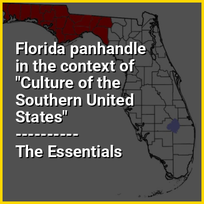
The Florida panhandle (also known as West Florida and Northwest Florida) is the northwestern part of the U.S. state of Florida. It is a salient roughly 200 miles (320 km) long, bordered by Alabama on the west and north, Georgia on the north, and the Gulf of Mexico to the south. Its eastern boundary is arbitrarily defined. It is defined by its southern culture and rural demographics in contrast to urbanized central and southern Florida, as well as closer cultural links to Alabama and Georgia. Its major communities include Pensacola, Navarre, Destin, Panama City Beach, and Tallahassee.
As is the case with the other eight U.S. states that have panhandles, the geographic meaning of the term is inexact and elastic. References to the Florida panhandle always include the ten counties west of the Apalachicola River, a natural geographic boundary, which was the historic dividing line between the British colonies of West Florida and East Florida. These western counties also lie in the Central Time Zone (with the exception of Gulf County, which is divided between the Eastern and Central Time zones), while the rest of the state is in the Eastern Time Zone. References to the panhandle may also include some or all of eleven counties immediately east of the Apalachicola known as the Big Bend region, along the curve of Apalachee Bay.