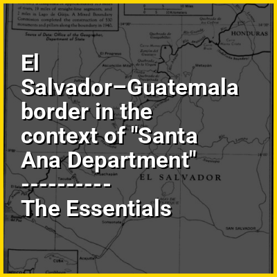
The El Salvador–Guatemala border is a 203 km (126 mi) international boundary in the northeast–southwest direction, northwest of El Salvador, and separating the country from the territory of Guatemala. From north to south, it starts in the triple border of the two countries with Honduras, near the peak Monte Cristo in Volcanoes National Park, extending to the southwest by the Pacific Ocean coast, following the final stage the Rio Paz. It separates the department of Jutiapa in Guatemala from Ahuachapan (north) and Santa Ana departments in El Salvador. It runs along 105 mi (169 km) of rivers, 19 mi (31 km) of straight-line segments and 2 mi (3.2 km) in Lake Güija. 530 boundary pillars were erected in 1940.
HINT:
In this Dossier
- ⭐ Core Definition: El Salvador–Guatemala border
- El Salvador–Guatemala border in the context of Chingo
El Salvador–Guatemala border in the context of Chingo
Volcán Chingo is a stratovolcano on the border between Guatemala and El Salvador. The highest point on the Guatemala/ El Salvador border is Volcán Chingo at 5,823 feet. It is also known to be the second highest of a group of volcanoes in the SE Guatemala region. The population of people living within 30 km of the Volcán Chingo is estimated to be around 867,678 people. There are no historical eruptions documented for this volcano but it is currently active. The exact volcano number when trying to locate it in the Smithsonian website is 342170.
View the full Wikipedia page for Chingo