Central Boulevards of Brussels in the context of Boulevard Émile Jacqmain


Central Boulevards of Brussels in the context of Boulevard Émile Jacqmain

⭐ Core Definition: Central Boulevards of Brussels

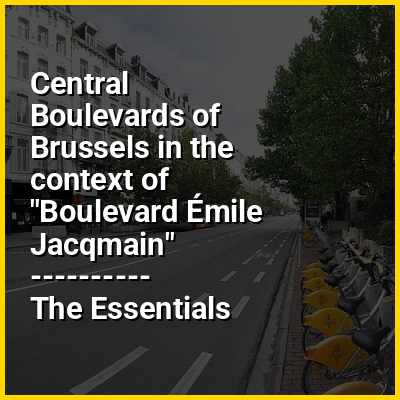
The Central Boulevards (French: Boulevards du Centre; Dutch: Centrale Lanen) are a series of grand boulevards in central Brussels, Belgium. They were constructed following the covering of the river Senne (1867–1871), as part of the major urban works by the architect Léon Suys under the tenure of the city's then-mayor, Jules Anspach. They are from south to north and from west to east: the Boulevard Maurice Lemonnier/Maurice Lemonnierlaan, the Boulevard Anspach/Anspachlaan, the Boulevard Adolphe Max/Adolphe Maxlaan, and the Boulevard Émile Jacqmain/Émile Jacqmainlaan. The latter two branch off from the Place de Brouckère/De Brouckèreplein. Other major squares on the Central Boulevards are the Place de la Bourse/Beursplein, the Place Fontainas/Fontainasplein and the Place Anneessens/Anneessensplein.

The covering of the Senne and the completion of the Central Boulevards allowed the construction of the modern buildings that are focal to downtown Brussels today. The wide, straight boulevards were lined with stately Haussmann-esque buildings, housing prestigious apartments that were among the country's first. Architectural quality was stimulated by two architectural competitions. Public buildings such as the Bourse Palace, the South Palace, and the (now demolished) Central Halls, were also built on the boulevards. By 1895, continuous construction had been realised in an eclectic array of styles.

↓ Menu
HINT:

In this Dossier

Central Boulevards of Brussels in the context of Pentagon (Brussels)

The Pentagon (French: Pentagone, pronounced [pɛ̃taɡɔn] ; Dutch: Vijfhoek, pronounced [ˈvɛifɦuk] ) or Brussels' city centre is the historical city centre of Brussels, Belgium, within the contours of the Small Ring inner ring road. The Small Ring is located on the site of the second walls of Brussels, which were built in the 16th century. As in most European cities, these walls were replaced by large boulevards at the end of the 19th century.

The Pentagon, within the Small Ring, covers 4.61 km (1.78 sq mi) and is more or less pentagonal or heart-shaped, hence its name. In 2013, 51,566 people lived there, mainly in the Marolles/Marollen district and west of the central boulevards. For the entire City of Brussels, there were 168,576 inhabitants; the majority living outside the Pentagon, in the northern part of the municipality.

View the full Wikipedia page for Pentagon (Brussels)
↑ Return to Menu

Central Boulevards of Brussels in the context of Boulevard Anspach

The Boulevard Anspach (French) or Anspachlaan (Dutch) is a central boulevard in Brussels, Belgium, connecting the Place de Brouckère/De Brouckèreplein to the Place Fontainas/Fontainasplein. It was created following the covering of the river Senne (1867–1871), and bears the name of Jules Anspach, a former mayor of the City of Brussels.

The Boulevard Anspach is continued to the north by both the Boulevard Émile Jacqmain/Émile Jacqmainlaan and the Boulevard Adolphe Max/Adolphe Maxlaan, forming a "Y" crossroad at the Place de Brouckère. To the south, it crosses the Place de la Bourse/Beursplein about halfway through, and continues towards the Place Fontainas where it becomes the Boulevard Maurice Lemonnier/Maurice Lemonnierlaan.

View the full Wikipedia page for Boulevard Anspach
↑ Return to Menu

Central Boulevards of Brussels in the context of Covering of the Senne

The covering of the Senne (French: Voûtement de la Senne; Dutch: Overwelving van de Zenne) was the covering and later diverting of the main river of Brussels, Belgium, and the construction of public buildings and major boulevards in its place. Carried out between 1867 and 1871, it is one of the defining events in the history of Brussels.

The Senne/Zenne (French/Dutch) was historically the main waterway of Brussels, but it became more polluted and less navigable as the city grew. By the second half of the 19th century, it had become a serious health hazard and was filled with garbage and decaying organic matter. It was heavily polluted, and it flooded frequently, inundating the lower town and the working class neighbourhoods that surrounded it.

View the full Wikipedia page for Covering of the Senne
↑ Return to Menu