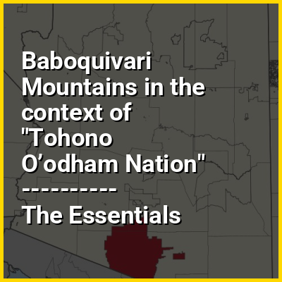
The Baboquivari Peak Wilderness or La Bestia is a 2,065-acre (8 km) wilderness area in the U.S. state of Arizona. It is located in the Baboquivari Mountains 50 miles (80 km) southwest of Tucson, Arizona. It is administered by the Bureau of Land Management and co-stewarded by the Tohono O'odham Nation. The United States Congress designated the Baboquivari Peak Wilderness in 1990. It is the smallest such designated wilderness in the state of Arizona. Today, the 2,900,000-acre (12,000 km) Tohono Oʼodham Nation (second largest reservation in the United States) lies to the west. Baboquivari Peak's elevation is 7,730 feet (2,356 m). It is a popular site for many climbers, tourists and other visitors to Arizona and can be seen in the distance from the Kitt Peak National Observatory in the Quinlan Mountain Range.
Baboquivari Peak is a technical summit, meaning that it is only accessible by technical (class 5) rock climbing according to the Yosemite Decimal System. The wilderness is reported to have some of the best backcountry rock climbing in Arizona. It can be visited any time of the year; however, outside visitors who are not members of the Tohono O'odham nation, must first procure a permit to be on the reservation. Also, summer afternoons are usually too hot for hiking, and winter can bring an occasional snow shower to the peak's highest elevations. Sightings of jaguars have been recorded in the Baboquivaris during the last decades.