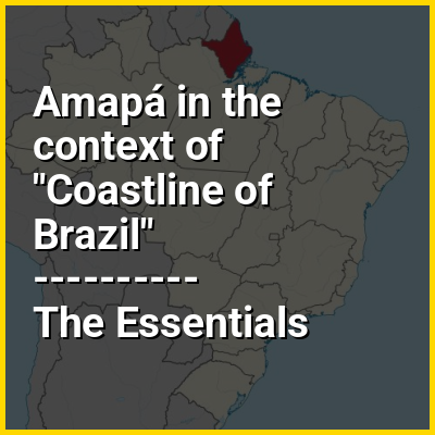
Amapá (/ˌɑːməˈpɑː/; Portuguese: [amaˈpa] ) is one of the 26 states of Brazil. It is in the North Region of Brazil. It is the second-least populous state and the eighteenth-largest state by area. Located in the far northern part of the country, Amapá is bordered clockwise by French Guiana to the north for 730 km, the Atlantic Ocean to the east for 578 km, Pará to the south and west, and Suriname to the northwest for 63 km. The capital and largest city is Macapá. The state has 0.4% of the Brazilian population and is responsible for 0.22% of the Brazilian GDP.
In the colonial period the region was called Portuguese Guiana and was part of Portugal's State of Brazil. Later, the region was distinguished from the other Guianas. Amapá was once part of Pará, but became a separate territory in 1943, and the decision to make it a state was made in 1988. The first state legislators took office on 1 January 1991.